EDCE – New Terrain Set in Progress
 You may have noticed many of my screenshots over the past year feature a darker tile set than the original EDCE graphics. I completed about 80% of this set early last year before I stopped working on it to focus on MUD. With the alpha release out of the way, I’m picking up right where I left off.
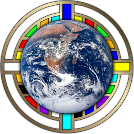
Back in 2005, I was part of a group working with MODIS and the idea to map the world through satellite imagery. You all know it’s far more commercially successful version by now, but those who were involved with our initiative will remember its pet name “Blue Marble” in reference to a famous NASA image from decades ago. The imagery we collected back then may be outdated by today’s standards, and BM project now defunct, but the data is still fun to look at and is still updated regularly.
Former NOE players will remember the first time I compiled the GPS data to make the first Worlds of Nations map that this website references. When EDCE launched and I saw the capabilities of creating unique terrain sets, I couldn’t resist the opportunity to convert that data once more.
In the process of making this set, I have several principles I intend to follow. It will lengthen the time to release, but if there is one thing consistent about my development style it’s a focus on an outcome rather than a deadline. I’ve already tackled 80% of these principles anyway.

100% Real-World Imagery
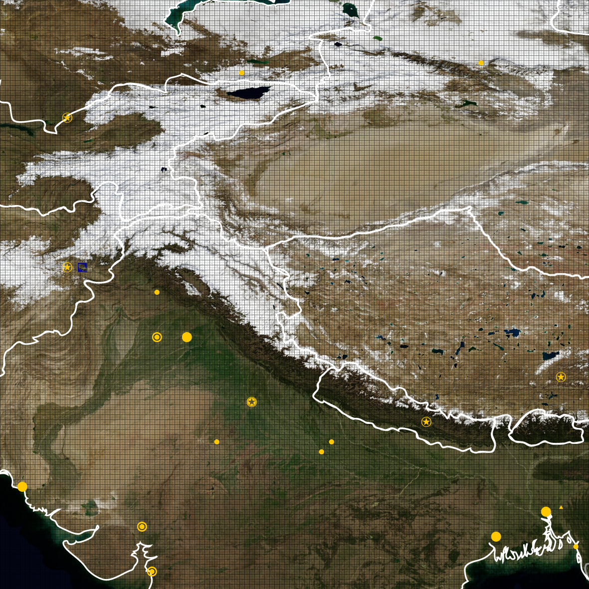
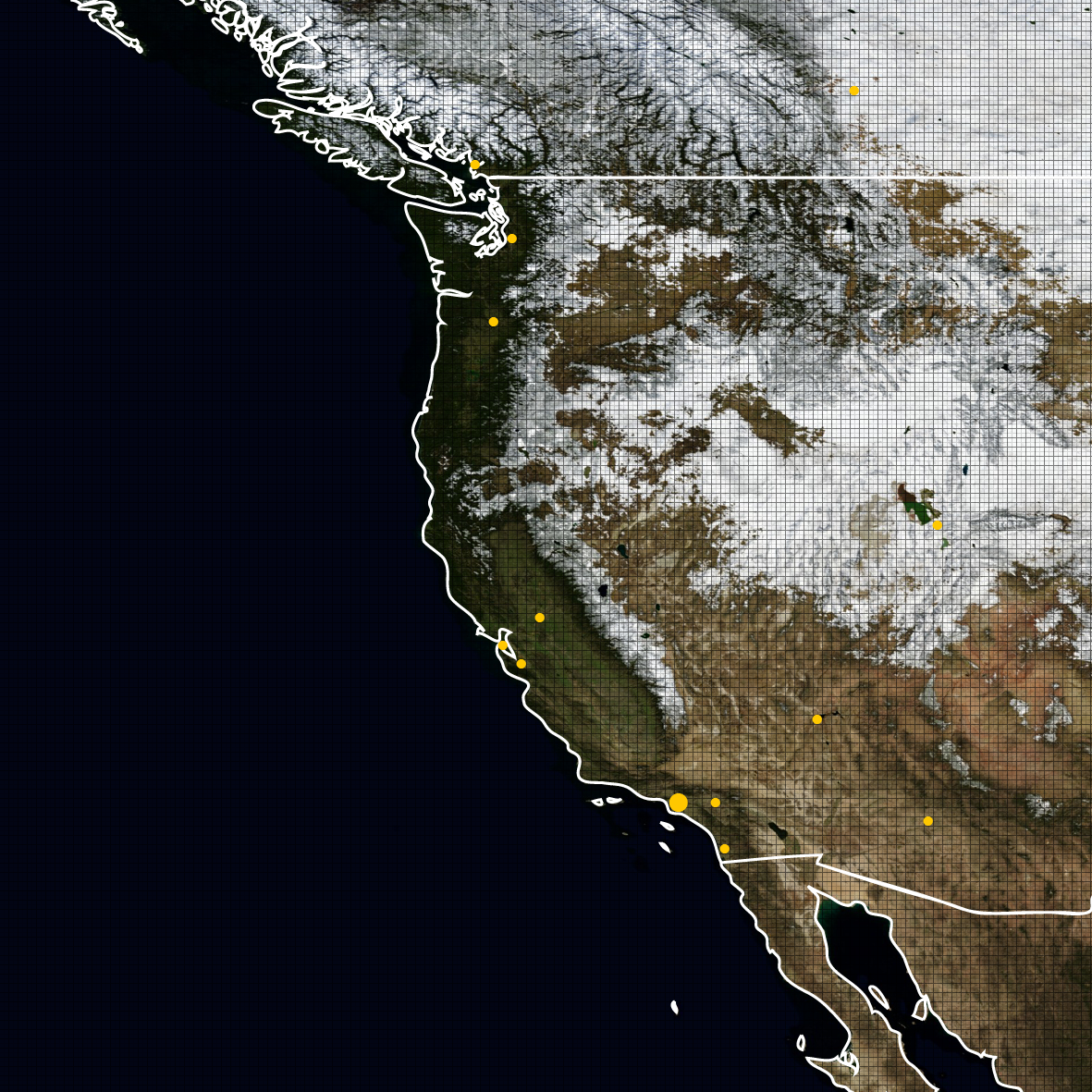
Every tile will be a shot from a real place on Earth. It will make for an interesting scavenger hunt to anyone dedicated enough. I don’t want to give too much away, but there are some hotspots that are quite photogenic from space. The Congo, Himalayas, and coastal America are particularly interesting places to start.
Limited Photo Manipulation
It is my intention to have limited manipulation of all photography. The Earth is beautiful by itself and doesn’t need me adding my own creative perspectives. The only modifications I intend to make will be to allow the tiles to seamlessly integrate. I’ve created a focus reticle to aid me in keeping manipulations limited to the borders of each image.
This approach was already tested with HIPS with moderate success. The script I use kept the manual manipulation to a minimum. I will probably avoid any meticulous hand corrections, although anything glaringly obvious I will edit out of the photo prior to applying it to the sprite map.
EDUT Compatible
I plan to make the set work as seamless as possible with the sets already released using EDUT. This means certain places on Earth that do not match this color scheme will not be used. If you are a farmer in Siberia, this probably means your field is disqualified. Sorry.
40km Tile Set
I am not sure how well this will work, so this may change. MODIS originally intended 1 pixel to be 1km. In MUD, this means tiles will be 40×40. However, this may require some photo manipulation to do correctly. At a minimum, I will do my best to scale all tiles to be taken from the same distance to limit the amount of distortion while staying close to this goal.